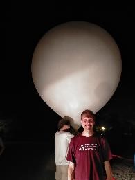
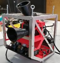
Stratospheric Balloons
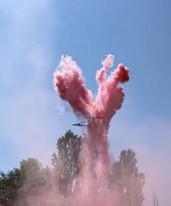
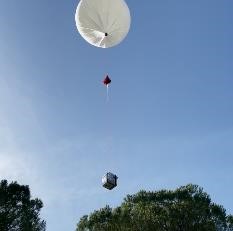 The group collaborated to development, realization and qualification of probes for stratospheric balloon launches from Sicily and Svalbard Island as part of the Italian Space Agency stratospheric balloon program. The Group was responsible for the design and integration of the HASI stratospheric probe used in the boomerang flight campaigns conducted from Trapani Milo base and also responsible for the design and integration of the SORA stratospheric probe dedicated to the radar monitoring of the stratification of the ice in Greenland launched in 2009 from the Svalbard Islands.
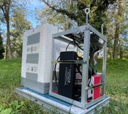
Lately the group has designed, developed and flight tested small autonomous payloads based on COTS components for Earth observation mainly dedicated to measurements of Light Pollution sources on round and to the reconstruction of Vegetation parameters with multiband images.
Drones
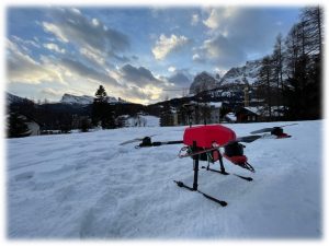
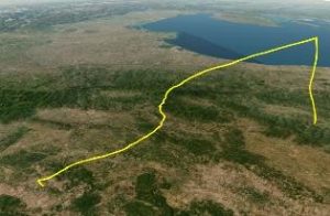
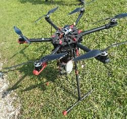
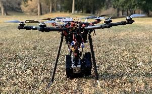
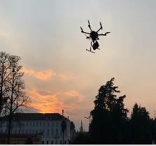
The research group is also involved in the area of UAVs (Unmanned Air Vehicles). The available facilities allow a rapid prototyping approach for the study and analysis of terrain where it is difficult to arrive. Several UAVs are used for research and remote sensing ranging from heavy duty octocopters to small quadcopters.
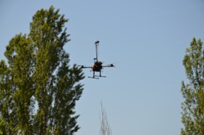
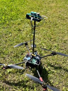
The FLIGHTDS group’s prototypes are used for field testing of space equipment and instruments, development of search and rescue and earth observation devices, and are part of broader research projects of inter-departmental and international interest. Air pollution investigations with COTS sensors are used; stability of drones and perturbations on sensors performances are analysed.Test activities using Velodyne and LIVOX LIDAR systems have been conducted in collaboration with other university departments to monitor archeological sites and construct 3D models of parks.
Information on facilities and laboratories can be found on the dedicated page.
|
Many university and departmental student projects deal with this experimental aspect and involve students, researchers and PhD students in the first approaches to research. These include the MINLU project, AVERLA, SEALS, ARIA and many others.
    |
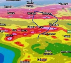  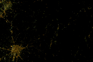 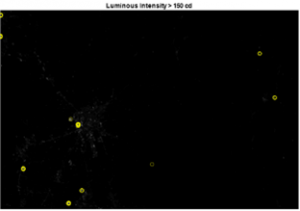  |
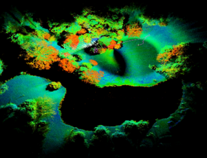
| Image and light sources reconstruction in Pistoia area from 32032 m altitude |
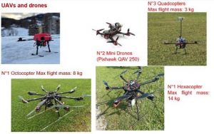    |
| Several UAVs are used for research and remote sensing ranging from heavy duty octocopters to small quadcopters .
Air pollution investigations with COTS sensors are used; stability of drones and perturbations on sensors performances are analysed. |
  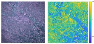 |
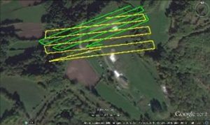
| Image and vegetation index reconstruction from 35512 m altitude. |
     |
| Test activities using Velodyne and LIVOX LIDAR systems have been conducted in collaboration with other university departments to monitor archeological sites and construct 3D models of parks. |
Information on facilities and laboratories can be found on the dedicated page.
